
Yesterday we walked all over Sliema (pronounced slee-ma) – not really intentionally. We were looking for a playground we saw by car and we found it, eventually. Did I mention we left the map at home? But our adventure helped us figure out the lay of the land. We later pored over the map to get a sense of where we were. A few highlights:
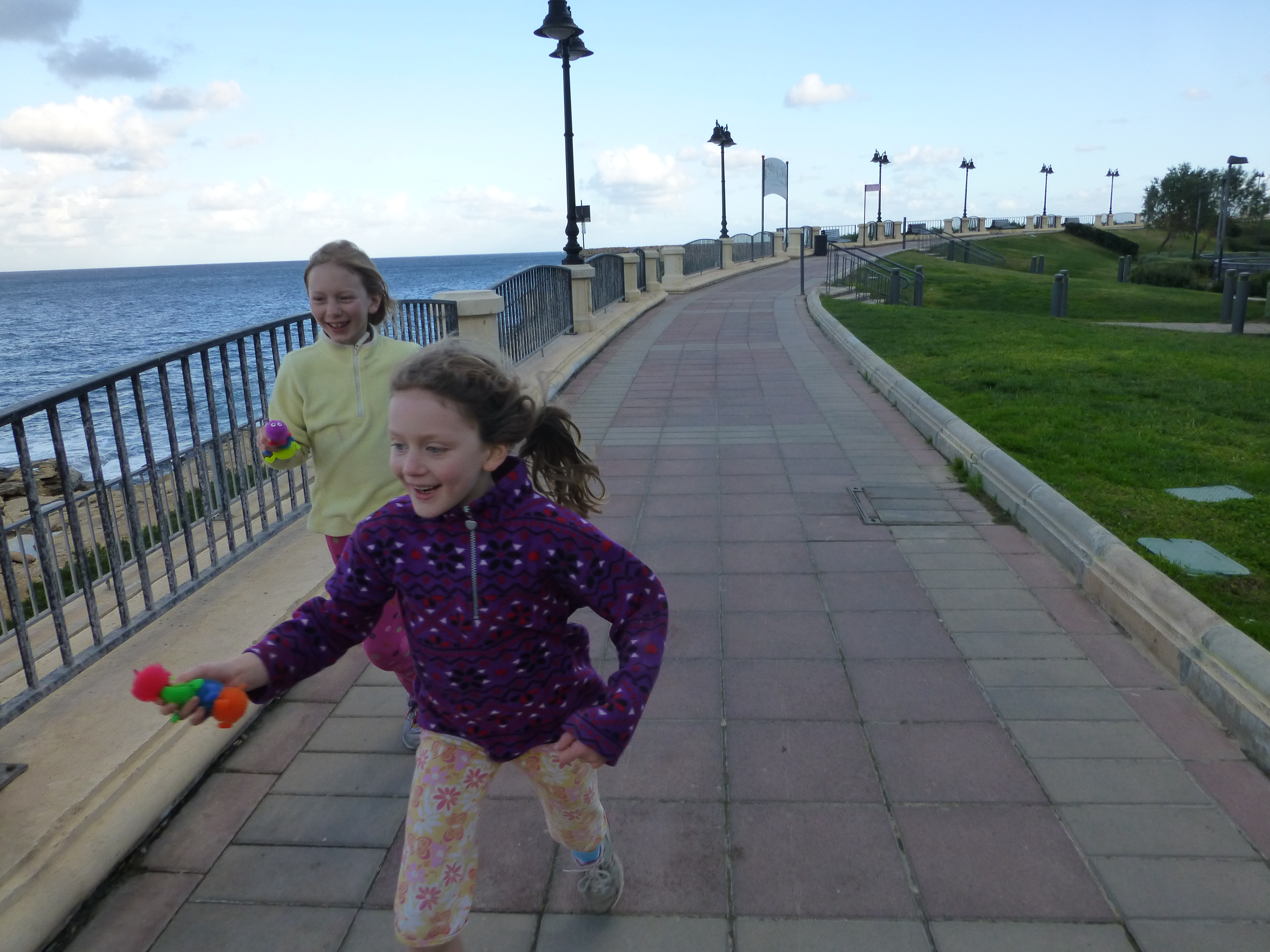
There is a beautiful promenade all along the waterfront in Sliema. Most of our walk was along the water.

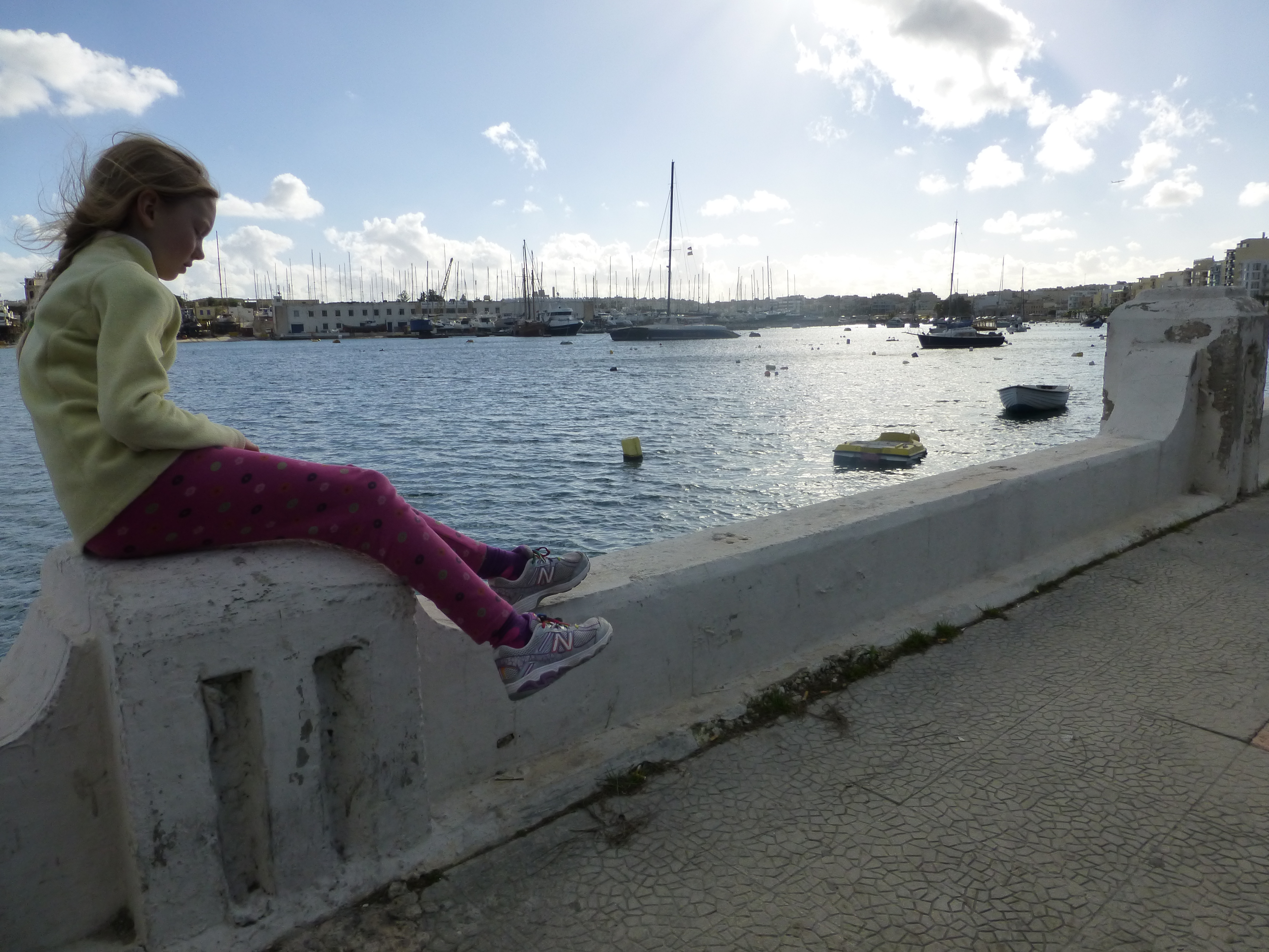
That’s Sliema to the side and front of us.

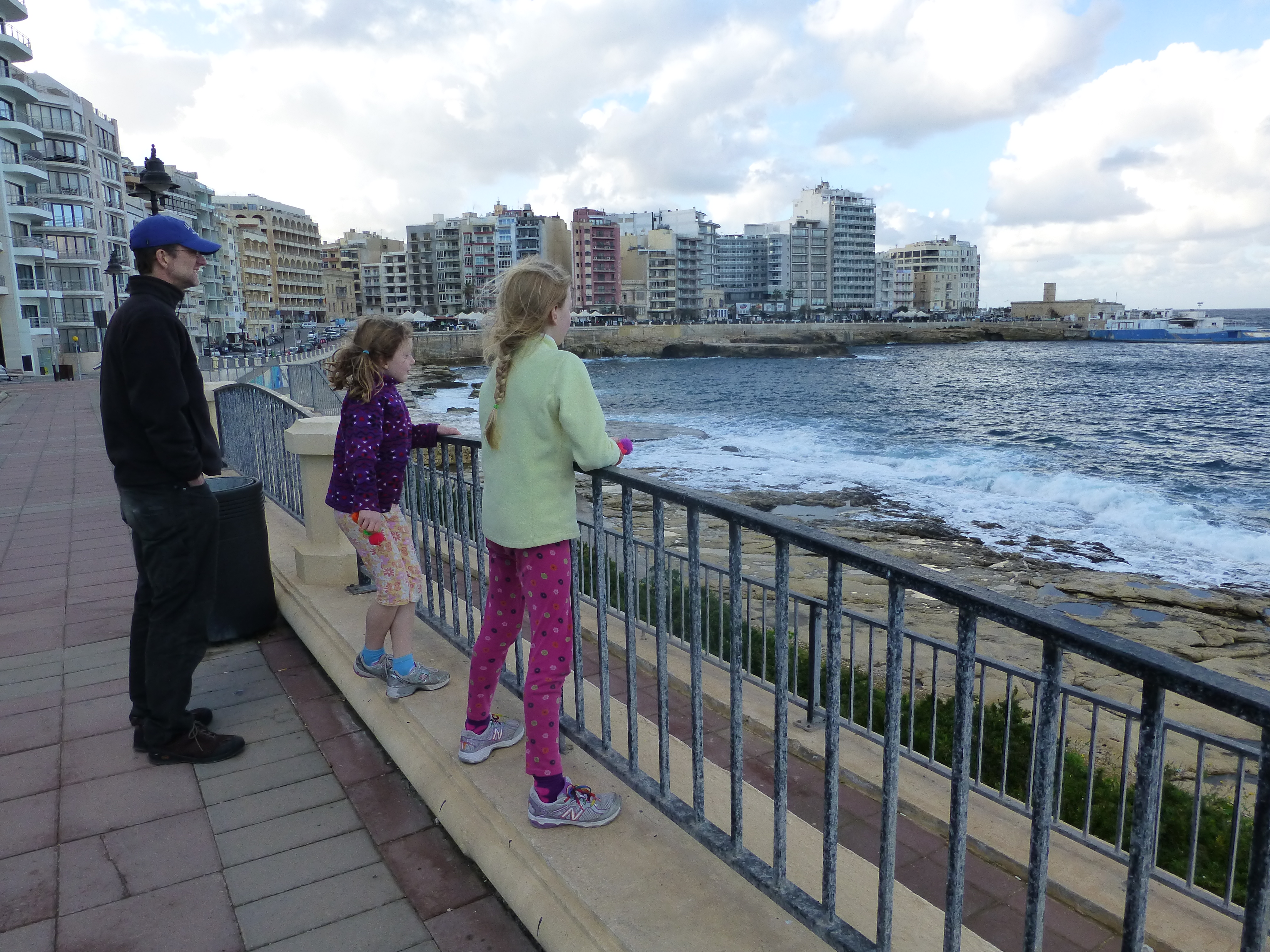
Valletta, the capital, as seen from the promenade in Sliema, across the Marsamxett Harbour.
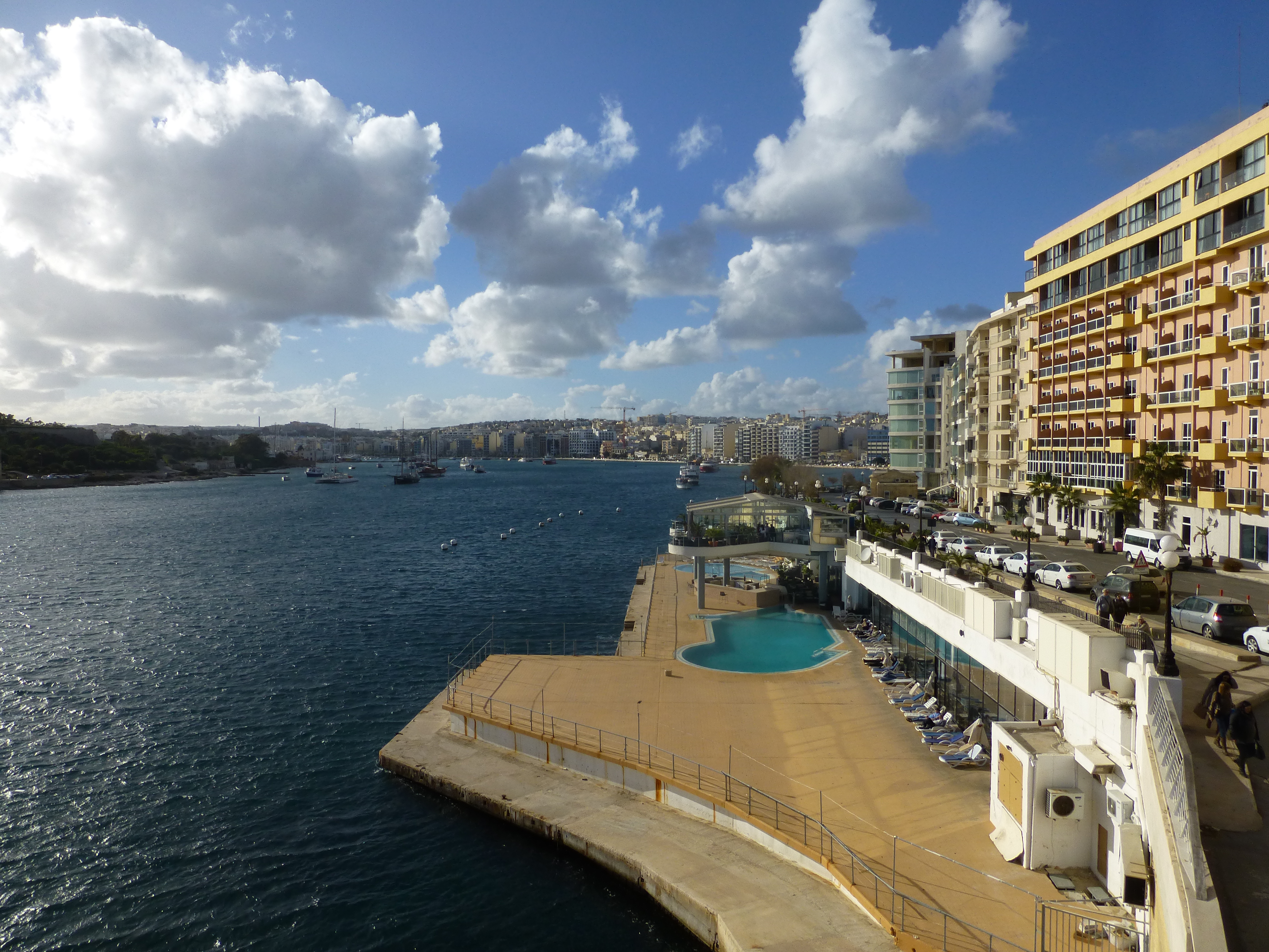
Sliema is very touristy with many, many hotels, restaurants and high-rise apartments. Quite the contrast with Valletta across the bay!
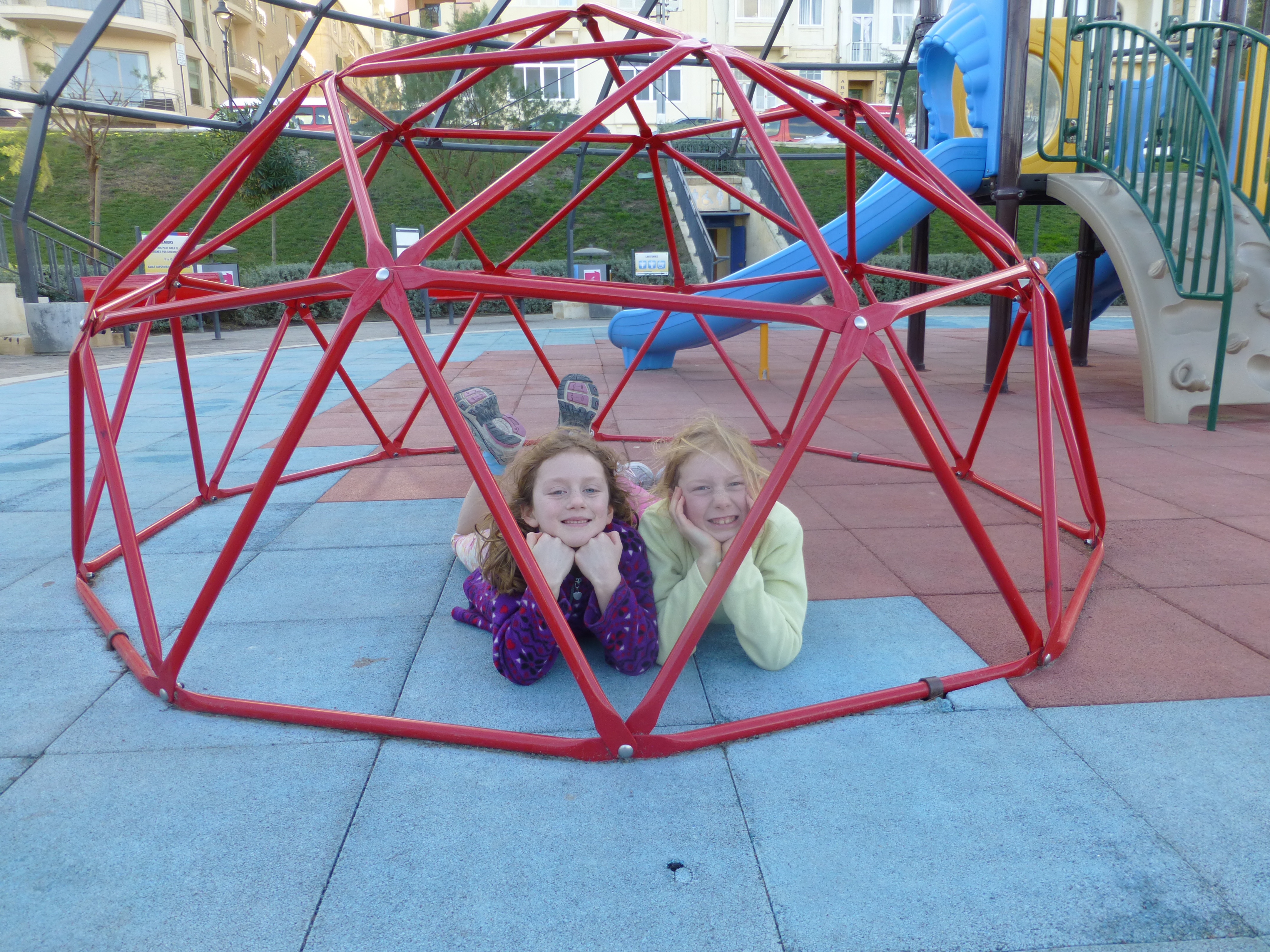
Finally – the park!
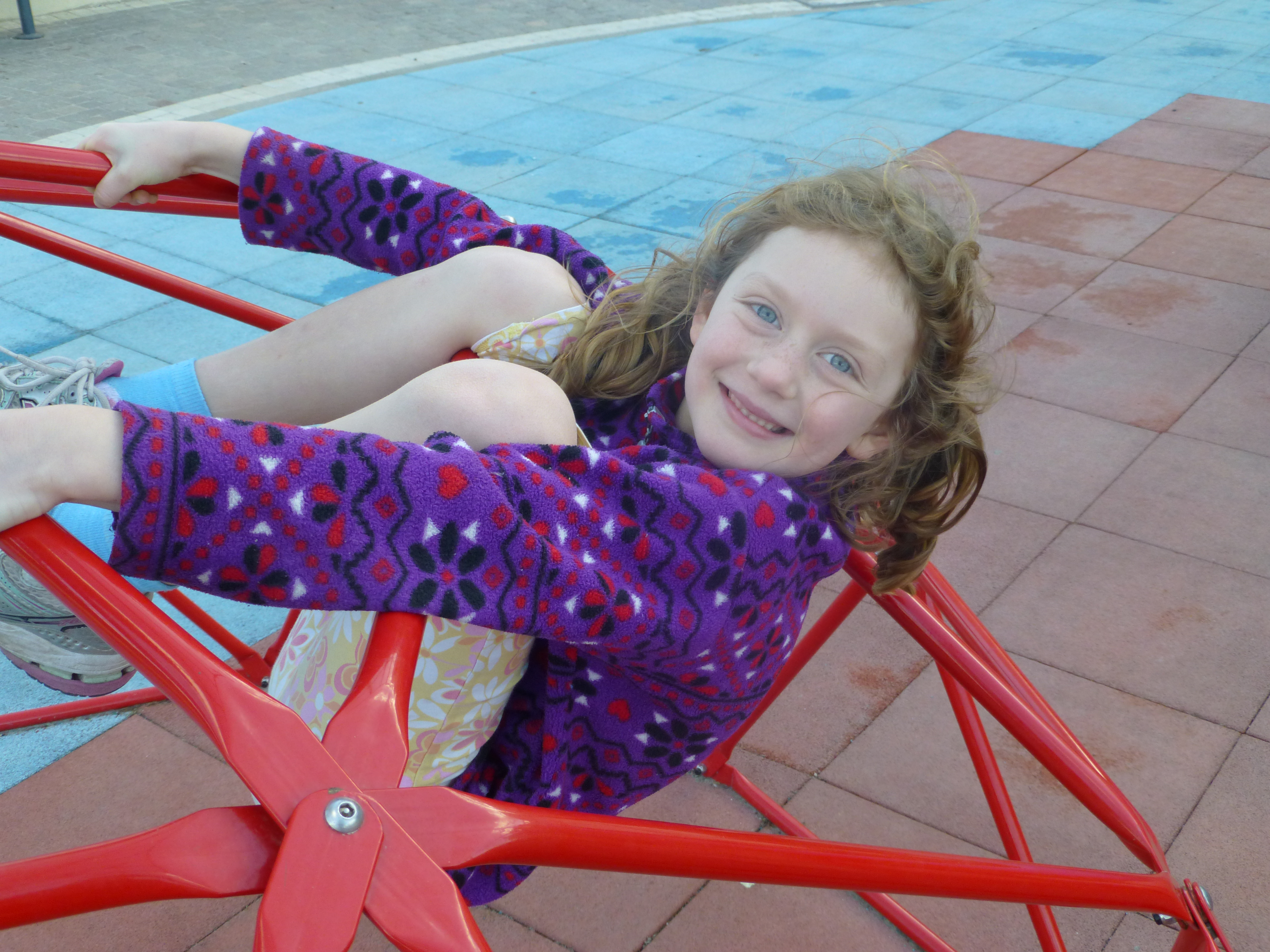
Without a yard, parks are going to be a daily staple.
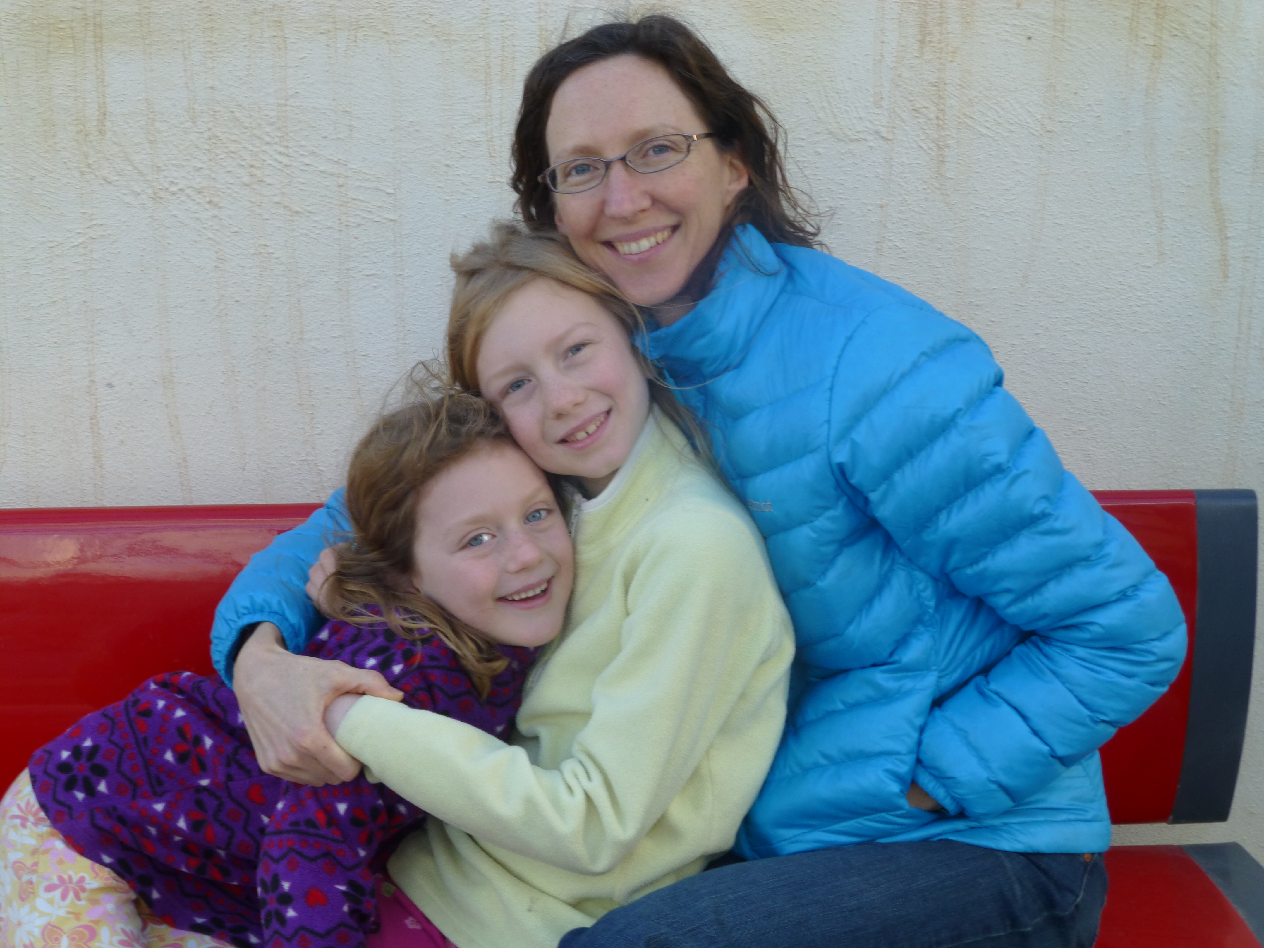
Staying warm – when the sun goes behind the clouds and the wind picks up, it can get a little chilly (by Malta standards!).
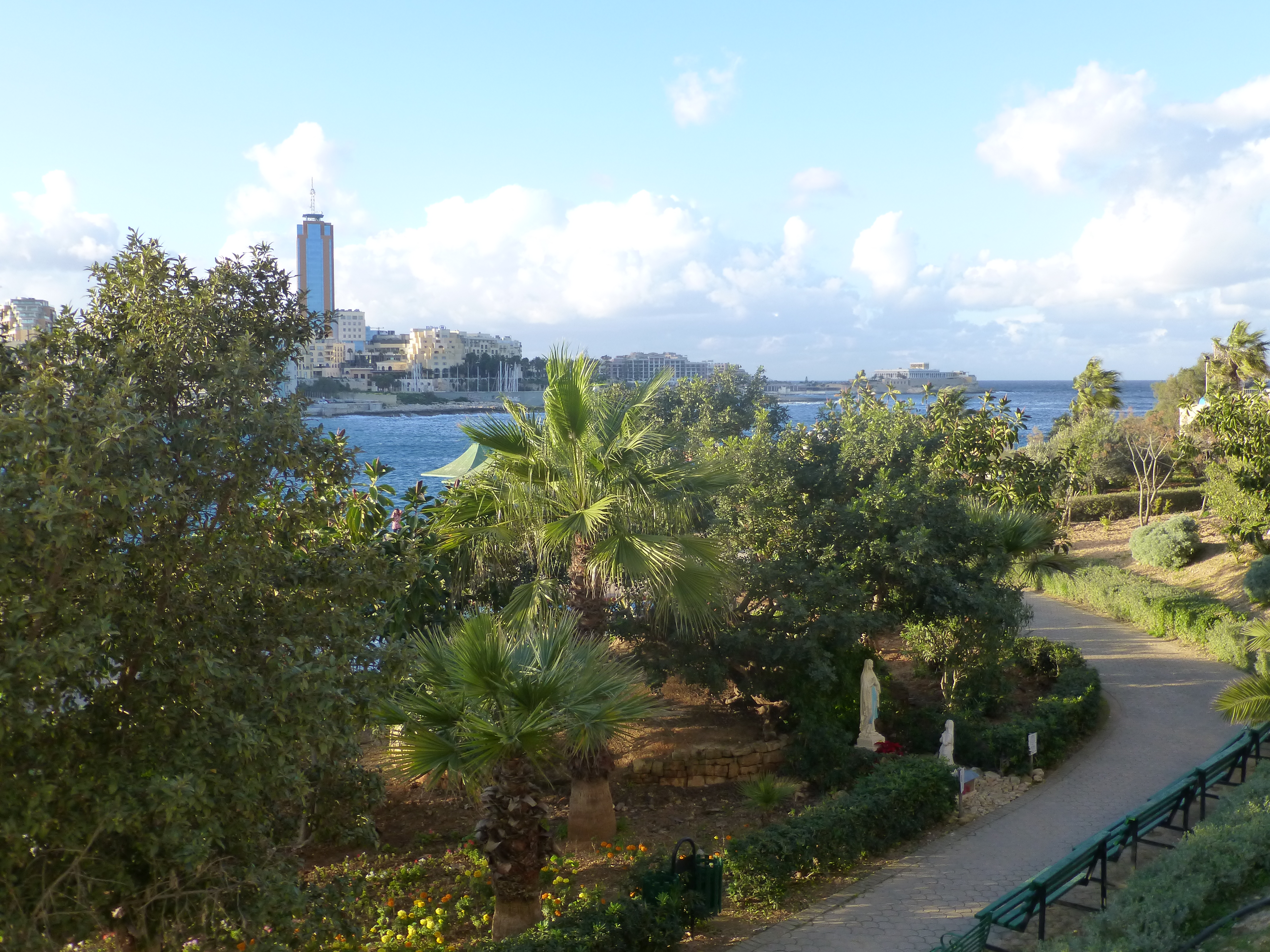
More views of Sliema in the background.

Finally – familiar territory!
A view across St. Julian’s Bay to St. Julian’s. This part of the promenade is about 10 minutes from our flat.

January 22, 2014 at 9:47 pm
I will love reading your blog, Rachel. Thanks for letting me know about it! I look forward to each entry. Sliema looks much more developed than in 1976! Valletta looks about the same, at a distance anyway. I didn’t head to Sliema too much, because from Msida I always took the bus the other way, towards Valletta. I’ll be curious to hear your impressions of Valletta and of the countryside. I still dream of the Dingli Cliffs. Your photos are wonderful. (I’m going to enjoy your past entries too.)
January 22, 2014 at 10:34 pm
That’s so different seeing so much water around! And you’re right about it being touristy. I think I counted at least 35 hotels in that one picture alone! I’m sure you won’t have trouble finding us one 🙂 Thanks for the sneak peek of Sliema!